
lidar technologies

Lidar technologies
We measure distances by illuminating a target with a laser and analyze the reflected light.
- Biomass Situation of Mawas Region in Central ...
- Spatial and temporal variation of above ground ...
- Multi-Temporal Airborne LiDAR-Survey and Field ...
- Relating ground field measurements in Indonesian ...
- Assessing Carbon Changes in Peat Swamp Forest ...
- Multi-Temporal Airborne LiDAR-Survey in 2007 and ...
- Characterizing Peat Swamp Forest Environments ...
- Multi-temporal Helicopter LIDAR- and RGB-Survey ...
- Application of LiDAR data for analyzing fires, ...
- LiDAR Technology for peatland using DSM- and ...
- Small-footprint airborne LiDAR technology for ...
- 2006 Fire depth and tree height analysis in Block ...
- Relating tree height variations to peat dome ...
- LiDAR- / Airborne Laser Scanning mapping of ...
- Rungan Sari PCB, Draft Masterplan with LiDAR-DTM ...
- LiDAR Survey of Small Scale Gold Mining near ...
- Airborne Laser Scanning measurements in Central ...
- Peatland Topography of Ex-MRP measured with ...
- Rungan Sari Airborne Laser Scanning 3D-Model and ...
- Peat Dome Measurements in Tropical Peatlands of ...
- Erfolgreiches Pilotprojekt im tropischen ...
- Airborne Laser Scanning monitoring of Ex-MRP area ...
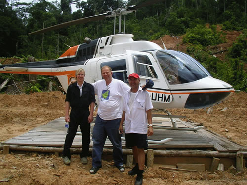
- Successful Helicopter Flight Trials with Airborne ...
- Successful Helicopter Flight Trials with Airborne ...
- OK Osaki Tsuji Boehm, Liesenberg- Appraisal of ...
gallery

image gallery
Find a large collection of images from many years of exploration by kalteng-consultants.
History Borneo - Kalimantan · Excursions to peatland 1996 · Mega Rice Project 1999 · 2004 · 2005 · 2006 · 2007 · 2008 · 2009 · 2010 · 2011 · 2012 · 2013 · 2014 · 2015 · 2016-March · 2016-August ·
lidar-technology
Erfolgreiches Pilotprojekt im tropischen Regenwald – Topographie mit Airborne Laser Scanning vom Hubschrauber; 2-2008

Primary forest in the Heart of Borneo, Bapak´s Thumb
Verfasser
Kalteng Consultants
Im August 2007 begibt sich ein 4-köpfiges Team der Kalteng Consultants und Milan-Geoservice GmbH nach Indonesien. Ziel ist die 200.000 Einwohnerstadt Palangkaraya auf Borneo in der Provinz Zentral Kalimantan. Dort sollen von der durch Torf-Sumpfland (PSF Peat Swamp Forest) und primären bzw. sekundärem Tro-penwald und großen mäandernden Flüsse geprägten Landschaft im cm-Bereich aufgelöste 3-dimensionale Geländemodelle erstellt werden.
Auftraggeber sind die niederländische Organisation, Wetlands International (NGO Non Government Organisations), die Universität von Palangka-raya, DLR u. a. Die Topographie-Daten werden zur Bestandsaufnahme und späteren Planung u. Sanierung im Rahmen der weltweiten green house Fragen benötig (Verbesserung hydro-logische Modelle, Bestimmung der Biomasse, Kalibrierung von Radar-Daten etc.). Die spannende Frage war, ob man mit den Laserstrahlen das dichte Blätterdach der tropischen Wälder bis zum Boden durchdringen kann, um an-schließend die Topographie errechnen zu können (DTM – Digital Terrain Model).
Landing in the Heart of Borneo: Jan, Viktor, Alam
